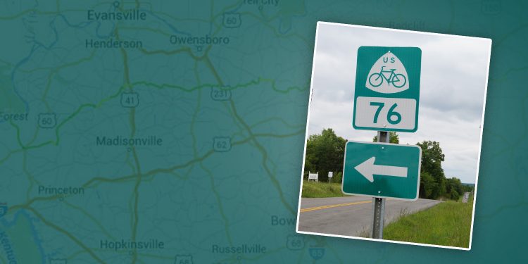
United States Bicycle Route 76, also known as the TransAmerica Trail, is now marked through Western Kentucky. Signs have been placed along the route in Kentucky Transportation Cabinet (KYTC) District 1 and District 2 counties.
USBR 76 was established in 1976 as part of the country’s bicentennial and is celebrating its 40th birthday this year. It was one of the first two US Bicycle Routes established by the American Association of State Highway and Transportation Officials (AASHTO), the same organization that certifies the United States Numbered Highways system that includes routes such as US 60. The other original national bike route is USBR 1, which runs north-south through the Atlantic coast states.
KYTC District spokesman Keith Todd said a number of cyclists travel through the area along the route, mainly during the summer months.
“I regularly travel along sections of the bike route. During the summer months you’ll encounter cross-country bicyclists a couple of times a week,” Todd said. “They range from single bikers to groups of 3 to 5 with camping gear strapped to their bicycles.”
Todd noted that motorists who regularly travel highways that carry USBR 76 should be prepared to encounter bicycles and, “share the road.”
Route:
In Kentucky Transportation Cabinet District 2, USBR 76 enters Ohio County from the east from Grayson County via KY 54/KY 110 and follows KY 54 to KY 2671/Sugar Grove Road to KY 1414.
It then travels via KY 764/KY 1738 to the Daviess County Line.
In Daviess County the bike route follows KY 764 to US 231, then follows KY 140 to the McLean County Line.
In McLean County USBR 76 follows KY 140 to KY 56 where it enters Webster County.
Nationwide, the route runs from Virginia to Missouri, with plans to eventually extend it to the Pacific coast in Oregon.
A map and more information is available at go.usa.gov/cuDvJ.


